There have been x earthquakes in the immediate region near Israel since the start of this month, according to the European Mediterranean Seismological Center (EMSC).
All of the tremors have been moderate or less in strength, the largest of which to hit a land mass was in Greece at 9:55 PM local time last night. The 4.4 magnitude quake (M4.4) hit 11 km SSE of Lefkímmi and 187 km WNW of Pátra, at a depth of 10 km.
So far today, there have been an M2.8 in western Turkey 11 km WNW of Kuşadası at 00:59 local time at a depth of 14 km, as well as an M2.1 in central Turkey this morning at 6:17 at a depth of 7 km, occurring 90 km north of Aleppo, Syria.
Yesterday, western Turkey had an M2.8 at 9:59 PM at a 14 km depth, while there was an M3.6 10 km WNW of Filiatrá, southern Greece at 07:29 AM at a depth of 20 km.
February 3 was marked by an M3.4 13 km SW of Kastoria, Greece at 2:39 PM at an 8 km depth. Turkey was also hit by two M2.1 quakes, in the east of the country at 8:16 AM and another at 3:54 AM in the center.
Central Turkey was shaken on Tuesday by an M3.7 at a 9 km depth 7 km east of Kozan at 2:54 in the morning, while the western sector had an M3.1 with 7 km depth at a 10 km distance WNW from Kuşadası at 11:43 PM. The Greek Dodecanese Islands saw an M2.7 at 2 km depth at 9:36 AM 3 km WNW of Néon Karlovásion.
11 separate earthquakes were registered on the first day of the month, all of which occurred off the coast of western Turkey near Greece. They include the following, according to local time in Turkey:
M4.6 at 11:46 PM at 17 km depth, 109 km WNW of İzmir, Turkey and 11 km SSW of Polichnítos, Greece.
M3.6 at 8:11 PM at 12 km depth, 113 km WNW of İzmir, Turkey and 29 km WSW of Plomári, Greece.
M3.5 at 7:19 PM at 16 km depth, 106 km WNW of İzmir, Turkey and 24 km WSW of Plomári, Greece.
M4.7 at 4:10 PM at 10 km depth, 113 km WNW of İzmir, Turkey just 29 km WSW of Plomári, Greece.
M3.6 at 12:42 PM at 10 km depth, 113 km WNW of İzmir, Turkey and 29 km WSW of Plomári, Greece.
M3.0 at 12:12 PM at 15 km depth, 117 km WNW of İzmir, Turkey and 19 km SW of Polichnítos, Greece.
M5.1 at 11:35 AM at 10 km depth, 110 km WNW of İzmir, Turkey and 25 km WSW of Plomári, Greece.
M4.8 at 09:00 AM at 16 km depth, 110 km WNW of İzmir, Turkey and 26 km WSW of Plomári, Greece.
M4.8 at 08:47 AM at 1 km depth, 116 km WNW of İzmir, Turkey and 21 km SW of Polichnítos, Greece.
M4.8 at 08:46 at 10 km depth, 112 km WNW of İzmir, Turkey and 17 km SSW of Polichnítos, Greece.
M3.9 at 08:03 at 10 km depth, 112 km WNW of İzmir, Turkey and 17 km SSW of Polichnítos, Greece.
According to basic categorization, earthquakes less than M2.0 are “Micro,” 2.0-4.0 are “Minor,” 4.0-5.0 are considered “Light,” 5.0 – 6.0 are “Moderate,” 6.0 – 7.0 are “Strong,” 7.0 – 8.0 are “Serious” and capable of major destruction, and “Great” are 8.0 and higher, with damage incurred hundreds of kilometers from the epicenter.
The most severe earthquake worldwide so far this month was far from the region on Wednesday, when an M6.7 occurred in the sea southeast of Easter Island, Chile at 02:23 AM. The quake struck at a depth of 10 km with its epicenter about 1,483 km southeast of Hanga Roa, Easter Island, according to the U.S. Geological Survey (USGS).
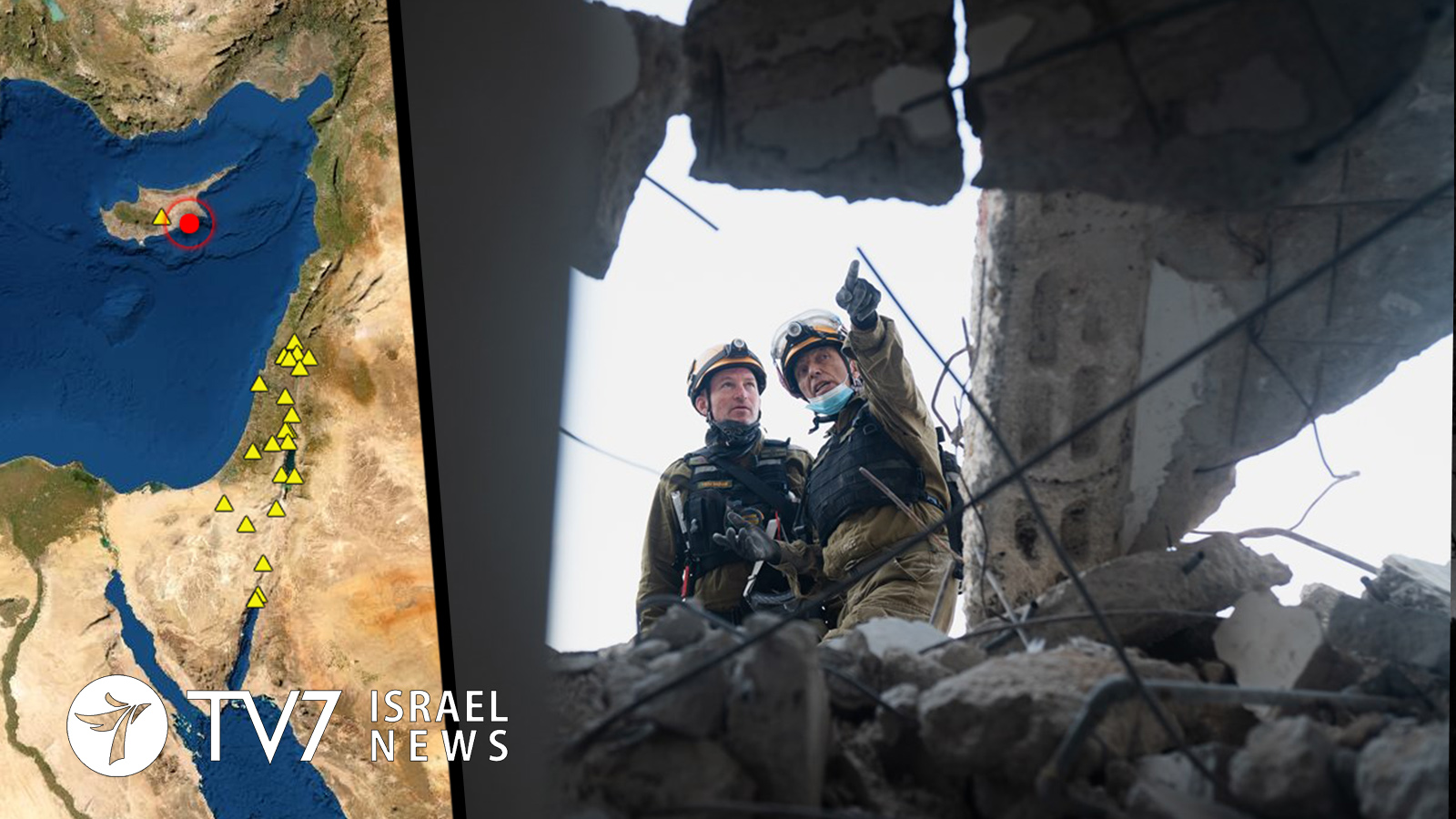
Israel has been spared any such tremors in February, so far, according to data from The Geological Survey of Israel (GSI).
The last quake felt in Israel was on 21 January, that originated as an M4.3 in the Cyprus region at 2:27 PM. Lawmakers in Nicosia 42 km from the epicenter were forced to evacuate parliament briefly, as did some residents of high-rise buildings in the capital. Cyprus is located an in earthquake-prone zone but strong tremors are uncommon. The highest registered in recent years was a magnitude of 6.3 in 1996, which also resulted in little damage.